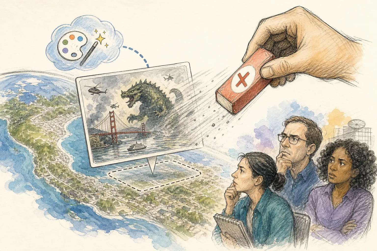
Google has taken down a new Google Earth feature just one day after launch, after criticism that it could help people generate misleading images on top of real satellite maps.
What the feature did
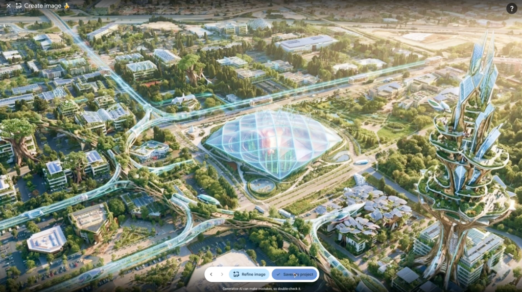
The feature let users use Nano Banana 2, Google’s AI image generator, inside Google Earth to create fabricated visuals in a mapping environment. Google said the goal was to let people be creative with geography.
Because the tool was prompt-based, users could describe an image and place it over real map imagery. That raised immediate concern that it could be used to create geospatial misinformation — misleading content tied to locations, landmarks, or map data.
Why critics objected
The backlash focused on Google Earth’s role as a trusted visual reference. Journalists and researchers often rely on satellite and map imagery as evidence, so any feature that makes it easier to layer invented content onto that context can be difficult to separate from authentic material.
Critics argued that the combination of AI image generation and a mapping product created a straightforward path for abuse. In practice, the issue was not whether images could be edited at all — that is already easy with many tools — but that AI lowers the skill needed to produce something that looks plausible.
Google’s response
Google said it had seen geospatial professionals use the feature for legitimate purposes, but also saw people sharing generated screenshots that appeared to violate its policies.
The company said it is rolling back the feature in Google Earth while it works on stronger guardrails, meaning additional restrictions or controls intended to reduce misuse.
The broader takeaway
The rollback highlights a familiar problem for AI products: a feature designed for creative use can also make misinformation cheaper and easier to produce. In this case, the concern was especially sharp because the product sits inside a mapping service that many people treat as a reliable record of the physical world.